Weather Warnings Archive: Thursday 08 Feb 2024 22:04 GMT - UK


00:00-06:00

06:00-12:00

12:00-18:00

18:00-24:00


Severe Weather Warnings: Rain
issued by the Metoffice at
22:04, 08.02.2024
valid from
02:00, 08.02.2024
until
06:00, 09.02.2024
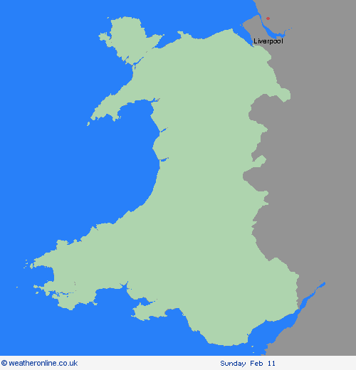
Region: Wales
A couple of bands of rain, heavy in places, will push northwards across southern England and south Wales during Thursday and early on Friday. Whilst a drier interlude is likely for a time during the middle part of Thursday, many places in the warning area will see 15-25 mm of rain accumulate during this period. However, some higher ground areas of southern England and south Wales could see as much as 35-45 mm of rain. What should I do? Check if your property could be at risk of flooding. If so, consider preparing a flood plan and an emergency flood kit. Give yourself the best chance of avoiding delays by checking road conditions if driving, or bus and train timetables, amending your travel plans if necessary. People cope better with power cuts when they have prepared for them in advance. It’s easy to do; consider gathering torches and batteries, a mobile phone power pack and other essential items. Be prepared for weather warnings to change quickly: when a weather warning is issued, the Met Office recommends staying up to date with the weather forecast in your area.
Chief ForecasterPeriods of heavy rain will bring the possibility of some disruption, particularly to transport.
The public is advised to take extra care, further information and advice can be found here: http://www.metoffice.gov.uk/weather/uk/links.html
Severe Weather Warnings: Snow/Ice
issued by the Metoffice at
22:04, 08.02.2024
valid from
08:00, 08.02.2024
until
15:00, 08.02.2024
Region: Wales
Snow is expected to develop during Thursday morning and become persistent and at times heavy before slowly easing later in the day. As milder air begins to arrive from the south, there is a chance that snow could turn to freezing rain across some higher routes above 200 metres. Across the warning area, 10-15 cm of snow is expected quite widely but some places, particularly those above 200 metres, may see 20-25 cm of snow. Strong and gusty easterly winds may lead to some drifting in places. What should I do? It is safer not to drive in these conditions, but if you need to make an essential journey, consider alternative forms of transport, to keep you and others safe. If you must drive, do this more safely by: using dipped headlights; accelerating gently, using low revs and changing to higher gears as quickly as possible; starting in second gear to help with wheel slip; maintaining a safe and steady speed, keeping distance from other vehicles; using a low gear to go downhill, avoiding braking unless necessary; steering into skids, not taking your hands of the wheel, and avoiding slamming on brakes. Similarly, if cycling, try and stick to main roads which are more likely to have been treated. People cope better with power cuts when they have prepared for them in advance. It’s easy to do; consider gathering torches and batteries, a mobile phone power pack and other essential items. If isolated due to snow, follow these simple steps to keep safe and well: keep the thermostat set to the same temperature both during the day and at night; turn off electrical heaters and put out your fire before going to bed; ensure pets are safe by keeping them warm and comfortable; prevent frozen pipes by opening kitchen and bathroom cabinet doors to allow warmer air to circulate around the plumbing; stay indoors, wrap up warm and close internal doors to keep the heat in; and, if you need support call the British Red Cross Support Line on 0808 196 3651. Help to protect the vulnerable people that you know including older people, those with underlying conditions and those who live alone; they may need support with food and medical supplies. If you are worried about your health or that of somebody you know, ring NHS 111. Stay up to date with the weather forecast for your area and follow advice from emergency services and local authorities.
Chief ForecasterSnow and ice is expected to cause disruption across north Wales and northwest Shropshire on Thursday
The public is advised to take extra care, further information and advice can be found here: http://www.metoffice.gov.uk/weather/uk/links.html


08.02.2024